Aftershock Map
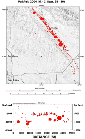
Map showing M>2 aftershocks following the September 28, 2004 M6.0 earthquake in Parkfield, CA. Below the map is a cross-section showing earthquake depth along the fault within the dashed red box.
Earthquake Details
Earthquake Video
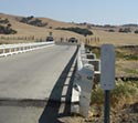
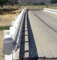
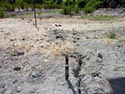
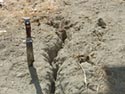
Field Photos
Pictures taken near the Parkfield bridge on September 29, 2004, one day after the Mw 6.0 Parkfield 2004 mainshock.