Sieh's intensity map for the March 3, 1901, Parkfield earthquake suggests that the area of strong shaking (modified Mercalli intensity VI or greater) was about twice that of the 1966 Parkfield earthquake, suggesting a somewhat larger magnitude for 1901 than for 1966. However, similar comparisons of intensities for the 1922, 1934, and 1966 shocks would suggest larger magnitudes for the 1922 and 1934 shocks, even though instrumental recordings require nearly identical size estimates for these three shocks. One interesting conclusion is that intensity data cannot resolve small differences in magnitude. Nevertheless, the 1901 intensities suggest that the 1901 shock was somewhat larger than the later Parkfield shocks, although it is not clear if the difference is significant.
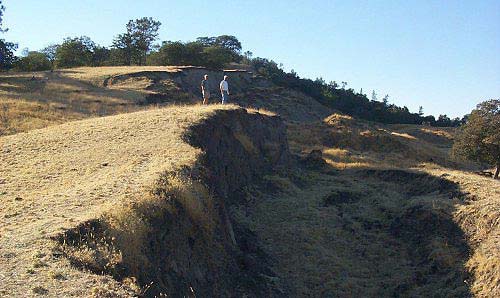
An account of the ground cracking near the San Andreas fault in 1901 is contained in a letter (dated May 17, 1905) to H. F. Reid of Johns Hopkins University by Homer Hamlin, an engineer employed by the USGS in Yuma, Arizona. Interpretation of Hamlin's account is difficult, and he does not adequately differentiate cracks due to landslide and slumping from cracks directly related to offsets at the fault. Hamlin describes extensive cracking northwest of Middle Mountain, the northwest end of mapped tectonic surface cracks in the 1966 earthquake. However, the area along the San Andreas fault northwest of Middle Mountain is characterized by extensive landslide features so that landslides and slumping there during the 1901 shock would not be surprising. In fact, landslides and nontectonic surface cracks were observed northwest of Middle Mountain at the time of the 1966 Parkfield earthquake.