Crustal Deformation
Crustal deformation refers to the changing earth’s surface caused by tectonic forces that are accumulated in the crust and then cause earthquakes. So understanding the details of deformation and its effects on faults is important for figuring out which faults are most likely to produce the next earthquake. There are several hypotheses about how this works, but more data is needed to determine which one is the best.
Crustal deformation is a heavily data driven field. To measure the motions of earth’s surface, the USGS employs a variety of methods, including LIDAR, the Global Positioning System (GPS), Interferometric Synthetic Aperture Radar (InSAR), creepmeters, and alinement arrays. In parts of the U.S. with few or no historically-recorded major earthquakes or where background seismicity is sparse, geodetic data may provide the only insight into present-day seismic hazard. The motions captured by these diverse measurement techniques provide vital information on:
- The slow ‘background’ tectonic motions between the earth’s plates, thereby constraining the buildup of stress on faults.
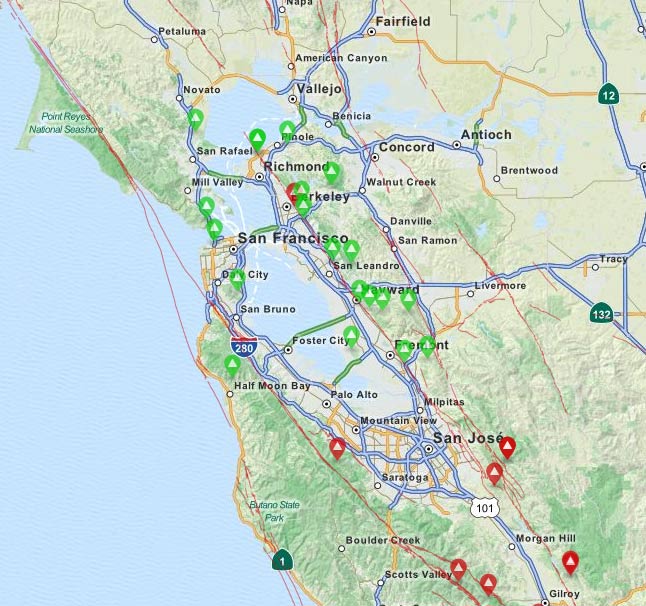
- The offsets across creeping faults such as the Hayward fault, which results in steady motions (typically several millimeters per year) of blocks of crust moving past each other along a common fault boundary.
- The offsets across a fault during a large earthquake (the coseismic displacements).
- Rapidly decaying motions that persist for weeks to years after a large earthquake, arising from a combination of continued slip on the fault (‘afterslip’) and possibly its extension into the lower crust and flow of rock in the deeper lower crust and mantle, where the temperature is high enough to permit ductile flow.
Specific problems of interest include:
- Quantifying fault slip rates, creep rates, and off-fault strain rates as well as the spatial extent of locked and creeping zones.
- Deformation rates between earthquakes with different recurrence intervals.
- Comparing models with observed data to assess the accuracy of each.
- Mapping the distribution of the locked (non-slipping) and freely sliding parts of faults to determine where slip in future earthquakes will occur.
- Improving earthquake early warning and rapid response using real time high rate GPS data.
- Investigating the effects of seismic waves travelling across a fault from an earthquake on another fault.