This list of resources is an archive of previous features. View the list of current resources.
New Science and Products
-
Three-Dimensional Geologic Map of the Hayward Fault Zone
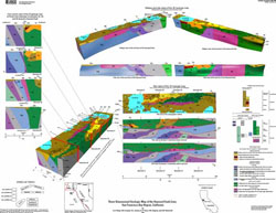
3D geologic map with descriptions of geologic units and structures, along with a discussion of the methods used to map them.
-
Intensity Maps for the 1868 Hayward Earthquake
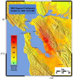
Modified Mercalli Intensity maps for the Hayward earthquake plotted in ShakeMap format.
-
Geometry and Evolution of the Hayward Fault
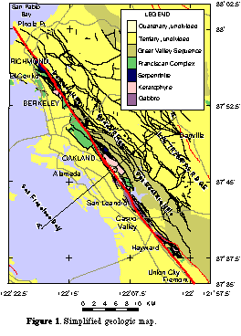
Geophysical data along the Hayward Fault are used to investigate the nature, spatial relationship, and evolution of the Hayward Fault Zone.
Field Guides
-
2006 Field Guide to the Hayward Fault (13 MB pdf)
A detailed geologic and architectural field guide to 11 stops along the Hayward Fault, including UC Berkeley Campus and Memorial Stadium, Point Pinole, Cragmont School in Berkeley, Oakland City Hall, and old City Hall in Hayward and it includes discussion of the 1868 earthquake. This guide was published by the Geological Society of America in 2006 as part of the 1906 San Francisco Earthquake Centennial Meeting.
-
Field Guide to the Hayward Fault (29 MB pdf)

Download a 2001 U.S. Geological Survey Field Guide to the Hayward Fault in Downtown Hayward and at the Caldecott Tunnel (between Orinida and Oakland) and to the 1998 Fremont Peak landslide.
See Also
-
Earthquakes From 1984–2000 Along the Hayward and Calaveras Faults, California
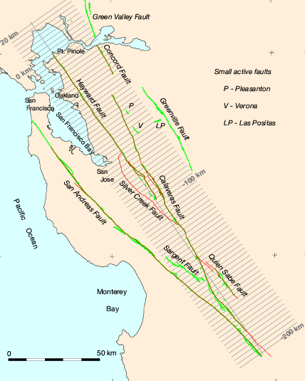
Cross-Sections and Maps Showing Double-Difference Relocated Earthquakes.
-
The Accumulation of Interseismic Strain Along the Hayward Fault
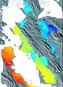
Interseismic surface deformation along the Hayward Fault monitored with Interferometric Synthetic Aperture Radar (InSAR) and the Global Positioning System (GPS).
-
1868 Hayward Earthquake Alliance

This web site was created in 2008 to help coordinate and promote efforts and activities between organizations throughout the greater San Francisco Bay Area planning to commemorate the 140th anniversary of the earthquake.
 Jump to Navigation