

M 5.2 - 175 km W of Langlois, Oregon
- 2013-02-27 22:25:43 (UTC)
- 43.220°N 126.564°W
- 10.0 km depth
Interactive Map Regional Information Felt Report - Tell Us! 000034Responses Contribute to citizen science. Please tell us about your experience.
- Did You Feel It?
IIImmi 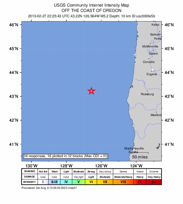
Community Internet Intensity Map Origin - Review Status
- REVIEWED
- Magnitude
- 5.2 mww
- Depth
- 10.0 km
- Time
- 2013-02-27 22:25:43 UTC
Moment Tensor Fault Plane Solution View Nearby Seismicity - Time Range

± Three Weeks - Search Radius

250.0 km - Magnitude Range

≥ 2.0
Contributors US

USGS National Earthquake Information Center, PDE