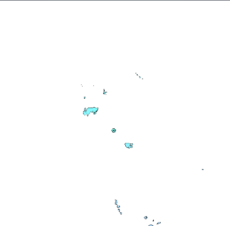
M 5.8 - 80 km E of Lata, Solomon Islands
- 2013-02-06 13:54:54 (UTC)
- 10.808°S 166.526°E
- 13.7 km depth
ShakeMap
- The data below are the most preferred data available
- The data below have NOT been reviewed by a scientist.
Official websites use .gov
A .gov website belongs to an official government organization in the United States.
Secure .gov websites use HTTPS
A lock ( ) or https:// means you’ve safely connected to the .gov website. Share sensitive information only on official, secure websites.