

M 2.8 - 18 km NNW of Weston, Colorado
- 2018-01-11 06:11:30 (UTC)
- 37.294°N 104.908°W
- 5.0 km depth
Interactive Map Regional Information Felt Report - Tell Us! 000001Responses Contribute to citizen science. Please tell us about your experience.
- Did You Feel It?
IImmi 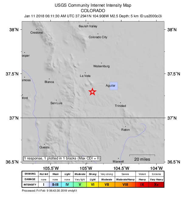
Community Internet Intensity Map Origin - Review Status
- REVIEWED
- Magnitude
- 2.8 mb_lg
- Depth
- 5.0 km
- Time
- 2018-01-11 06:11:30 UTC
View Nearby Seismicity - Time Range

± Three Weeks - Search Radius

250.0 km - Magnitude Range

≥ 1.0
Contributors US

USGS National Earthquake Information Center, PDE