

M 1.1 - 9 km E of Alum Rock, CA
- 2025-01-28 23:11:44 (UTC)
- 37.376°N 121.728°W
- 7.7 km depth
Interactive Map Regional Information Felt Report - Tell Us! 000001Responses Contribute to citizen science. Please tell us about your experience.
- Did You Feel It?
IImmi 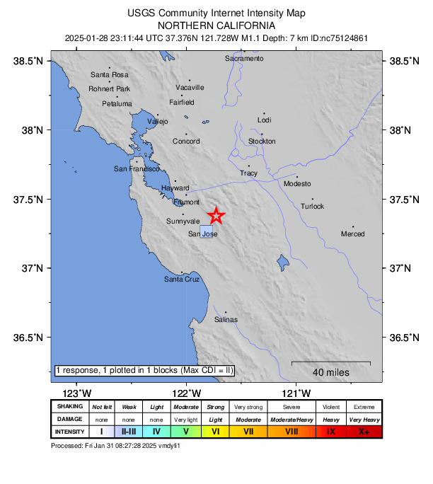
Community Internet Intensity Map Origin - Review Status
- REVIEWED
- Magnitude
- 1.1 md
- Depth
- 7.7 km
- Time
- 2025-01-28 23:11:44 UTC
View Nearby Seismicity - Time Range

± Three Weeks - Search Radius

250.0 km - Magnitude Range

≥ 1.0
Contributors NC

California Integrated Seismic Network: Northern California Seismic System (UC Berkeley, USGS Menlo Park, and Partners)