M 7.0 - 2024 Offshore Cape Mendocino, California Earthquake
- 2024-12-05 18:44:21 (UTC)
- 40.374°N 125.022°W
- 10.0 km depth
Interactive Map Regional Information Felt Report - Tell Us! 016826Responses Contribute to citizen science. Please tell us about your experience.
- Did You Feel It?
VIIImmi 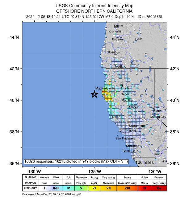
Community Internet Intensity Map - ShakeMap
VIIImmi 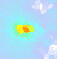
Estimated Intensity Map - PAGER
YELLOW 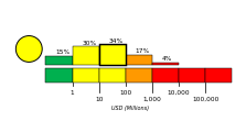
Estimated Economic Losses 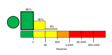
Estimated Fatalities Ground Failure - Landslide Estimate
Significant area affected
Little or no population exposed
- Liquefaction Estimate
Limited area affected
Little or no population exposed
Aftershock Forecast According to our forecast, the chance of at least one aftershock within the next week: Origin - Review Status
- REVIEWED
- Magnitude
- 7.0 mw
- Depth
- 10.0 km
- Time
- 2024-12-05 18:44:21 UTC
Moment Tensor Fault Plane Solution Finite Fault 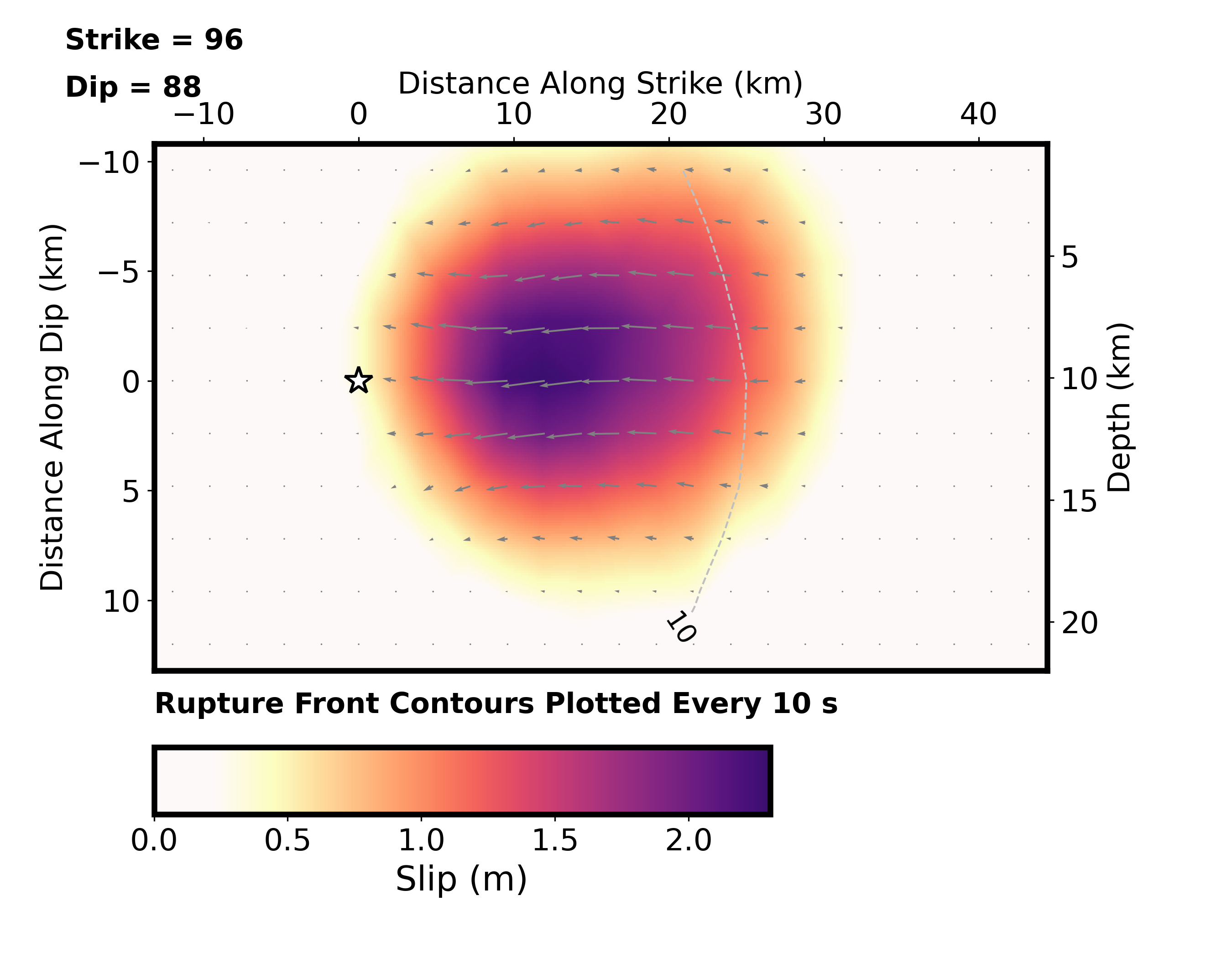
Cross-section of slip distribution. Tsunami 
U.S. Tsunami Warning System To view any current tsunami advisories for this and other events please visit https://www.tsunami.gov.
View Nearby Seismicity - Time Range

± Three Weeks - Search Radius

250.0 km - Magnitude Range

≥ 4.0
ShakeAlert ® 
Event Sequence
This event is identified as the potential mainshock of an earthquake sequence. View 469 events in the sequence.
Tectonic Summary
The December 5, 2024, M 7.0 Offshore Cape Mendocino earthquake occurred approximately 70 km southwest of Ferndale, northern California. This earthquake occurred west of the Mendocino triple junction – the region where the Pacific, North America, and Juan de Fuca/Gorda plates meet – along the Mendocino Fault demarking the transform boundary between the Pacific and Juan de Fuca/Gorda plates. Focal mechanism solutions and aftershock distributions indicate that the earthquake occurred on an east-west striking right-lateral strike-slip fault, accommodating the eastward motion of the Juan de Fuca/Gorda plate relative to the Pacific plate.
In the Mendocino triple junction region, the northern terminus of San Andreas plate boundary (the transform boundary between the Pacific and North America plates) meets the southern terminus of the Cascadia subduction zone (the convergent boundary between the Juan de Fuca/Gorda plates and the North America plate) and the eastern terminus of the Mendocino fracture zone (the transform boundary between the Pacific and Juan de Fuca/Gorda plates). The relative motions of the Pacific and Juan de Fuca/Gorda plates with respect to the North America plate result in the Mendocino triple junction migrating northward, leading to the San Andreas plate boundary lengthening in the wake of the retreating southern end of the Cascadia subduction zone. Seismicity in this region reflects the relative motions across the three plate boundaries, as well as the effects of Mendocino triple junction migration and the corresponding plate boundary reorganization.
This area is thus one of the more seismically active regions of California and its surroundings. Of the 11 earthquakes magnitude 7 and larger in California since 1900, five (including the 2024 event) occurred in the vicinity of the Mendocino triple junction. Along the Mendocino fracture zone, the December 5, 2024, earthquake occurred in a similar location to a magnitude 7.1 earthquake in 1923 that caused some damage and triggered a small tsunami. Further west along the Mendocino fracture zone, a magnitude 7.1 earthquake occurred in 1994 that did little damage to onshore regions. The most damaging earthquakes in this region of northern California have occurred onshore, within the North America plate east of the three major plate boundary faults associated with the Mendocino triple junction. These include a magnitude 7.2 earthquake in April 1992 near Petrolia, California (a reverse faulting earthquake), and a magnitude 7.2 earthquake in November 1980 near Eureka, California (a strike-slip earthquake). Both events caused extensive regional damage, and the 1992 earthquake triggered a small tsunami recorded in California and Hawaii. More recently, the Petrolia/Ferndale region experienced a magnitude 6.2 earthquake on December 20, 2021, followed by a magnitude 6.4 earthquake one year later, on December 20, 2022.


