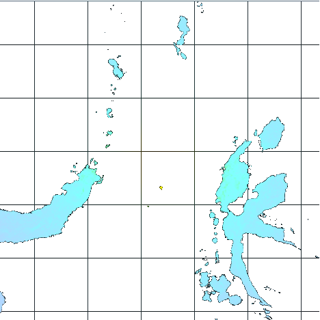
M 6.6 - 160 km ENE of Laikit, Laikit II (Dimembe), Indonesia
- 1969-08-11 23:52:57 (UTC)
- 1.848°N 126.371°E
- 29.2 km depth
ShakeMap
- The data below are the most preferred data available
- The data below have NOT been reviewed by a scientist.
Official websites use .gov
A .gov website belongs to an official government organization in the United States.
Secure .gov websites use HTTPS
A lock ( ) or https:// means you’ve safely connected to the .gov website. Share sensitive information only on official, secure websites.