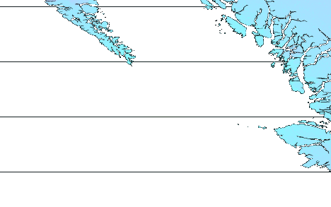
M 6.1 - 243 km WNW of Port McNeill, Canada
- 2013-09-03 20:19:06 (UTC)
- 51.244°N 130.397°W
- 2.7 km depth
ShakeMap
- The data below are the most preferred data available
- The data below have NOT been reviewed by a scientist.
Official websites use .gov
A .gov website belongs to an official government organization in the United States.
Secure .gov websites use HTTPS
A lock ( ) or https:// means you’ve safely connected to the .gov website. Share sensitive information only on official, secure websites.