

M 5.3 - 14 km N of Ninilchik, Alaska
- 2017-05-07 04:25:19 (UTC)
- 60.183°N 151.678°W
- 67.2 km depth
Interactive Map Regional Information Felt Report - Tell Us! 000735Responses Contribute to citizen science. Please tell us about your experience.
- Did You Feel It?
Vmmi 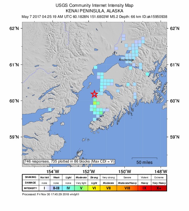
Community Internet Intensity Map - ShakeMap
IVmmi 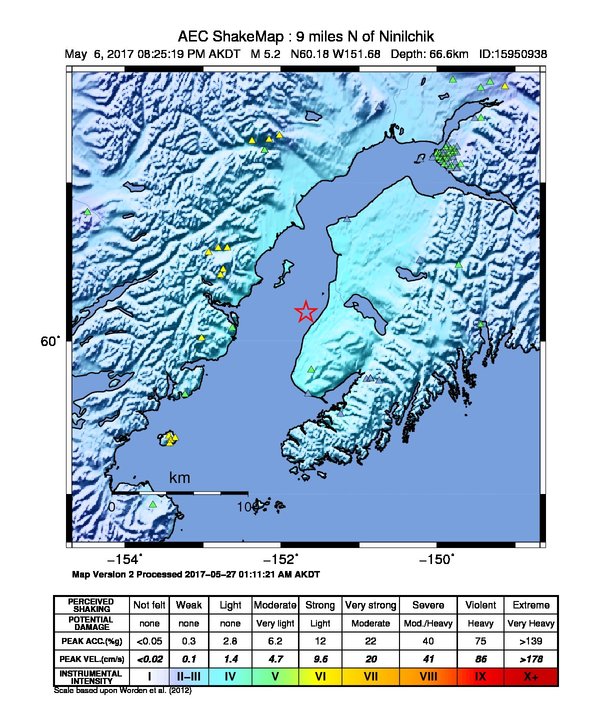
Estimated Intensity Map Origin - Review Status
- REVIEWED
- Magnitude
- 5.3 mw
- Depth
- 67.2 km
- Time
- 2017-05-07 04:25:19 UTC
Moment Tensor Fault Plane Solution Tsunami 
U.S. Tsunami Warning System To view any current tsunami advisories for this and other events please visit https://www.tsunami.gov.
View Nearby Seismicity - Time Range

± Three Weeks - Search Radius

250.0 km - Magnitude Range

≥ 2.0
Contributors AK

Alaska Earthquake Center