The PAGER system provides fatality and economic loss impact estimates following significant earthquakes worldwide.
-
Search PAGER Archives
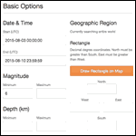
Search for events that include PAGER. The Search form link from here is already configured to return only events with PAGER products. You enter additional search parameters. The default time window is the past 30 days.
-
onePAGER

Graphical guide to the PAGER information.
-
Data, Products, and References

All things PAGER.
-
FAQ

Questions and answers about PAGER.
-
Scientific Background
How was the PAGER system created and what is the process for determining PAGER alert levels?