

M 4.8 - 50 km WSW of Kigorobya, Uganda
- 2013-04-20 00:30:27 (UTC)
- 1.504°N 30.867°E
- 10.0 km depth
Interactive Map Regional Information Felt Report - Tell Us! 000006Responses Contribute to citizen science. Please tell us about your experience.
- Did You Feel It?
IVmmi 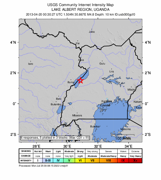
Community Internet Intensity Map Origin - Review Status
- REVIEWED
- Magnitude
- 4.8 mb
- Depth
- 10.0 km
- Time
- 2013-04-20 00:30:27 UTC
View Nearby Seismicity - Time Range

± Three Weeks - Search Radius

250.0 km - Magnitude Range

≥ 1.0
Contributors US

USGS National Earthquake Information Center, PDE