

M 5.1 - 7 km SE of Ojai, CA
- 2023-08-20 21:41:00 (UTC)
- 34.409°N 119.188°W
- 4.8 km depth
Interactive Map Regional Information Felt Report - Tell Us! 020592Responses Contribute to citizen science. Please tell us about your experience.
- Did You Feel It?
VImmi 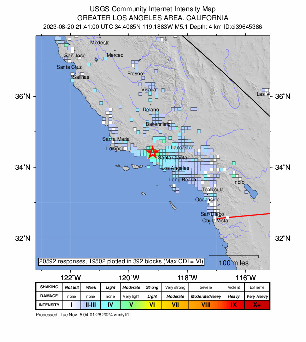
Community Internet Intensity Map - ShakeMap
VImmi 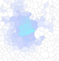
Estimated Intensity Map - PAGER
GREEN 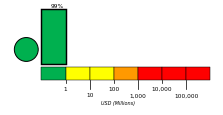
Estimated Economic Losses 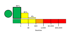
Estimated Fatalities Ground Failure - Landslide Estimate
Little or no area affected
Little or no population exposed
- Liquefaction Estimate
Little or no area affected
Little or no population exposed
Origin - Review Status
- REVIEWED
- Magnitude
- 5.1 mw
- Depth
- 4.8 km
- Time
- 2023-08-20 21:41:00 UTC
Moment Tensor Fault Plane Solution Tsunami 
U.S. Tsunami Warning System To view any current tsunami advisories for this and other events please visit https://www.tsunami.gov.
View Nearby Seismicity - Time Range

± Three Weeks - Search Radius

250.0 km - Magnitude Range

≥ 2.0
ShakeAlert ® 
Contributors CI

California Integrated Seismic Network: Southern California Seismic Network (Caltech, USGS Pasadena, and Partners)