

M 2.2 - 14 km E of South Lead Hill, Arkansas
- 2024-11-02 23:56:44 (UTC)
- 36.418°N 92.753°W
- 4.1 km depth
Interactive Map Regional Information Felt Report - Tell Us! 000003Responses Contribute to citizen science. Please tell us about your experience.
- Did You Feel It?
IIImmi 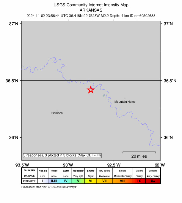
Community Internet Intensity Map Origin - Review Status
- REVIEWED
- Magnitude
- 2.2 md
- Depth
- 4.1 km
- Time
- 2024-11-02 23:56:44 UTC
View Nearby Seismicity - Time Range

± Three Weeks - Search Radius

250.0 km - Magnitude Range

≥ 1.0
Contributors NM

New Madrid Seismic Network