Topopah Spring, Nevada, USA
US TPNV commences operations on: 1992,167
| Host | – |
|---|---|
| Network | US |
| Latitude | 36.949 |
| Longitude | -116.249 |
| Elevation | 1600 |
| Datalogger | Q330 |
| Broadband | STS-2 |
| Accelerometer | Episensor ES-T |
| Telemetry Status at the NEIC | Pending |
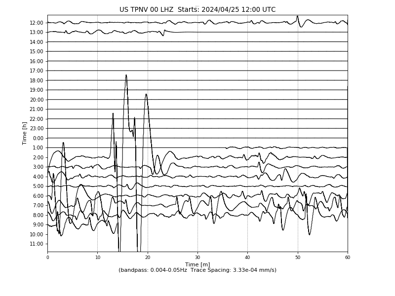
Heliplot
Site Geology
Miocene aged rhyolite of Calico Hills approximately 60 feet thick. Silicification and hematitic alteration are widespread.