Missoula, Montana, USA
US MSO commences operations on: 2002,235
| Host | – |
|---|---|
| Network | US |
| Latitude | 46.829 |
| Longitude | -113.941 |
| Elevation | 1264 |
| Datalogger | Q330 |
| Broadband | STS-2 |
| Accelerometer | Episensor ES-T |
| Telemetry Status at the NEIC | Pending |
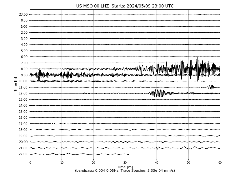
Heliplot
Latency
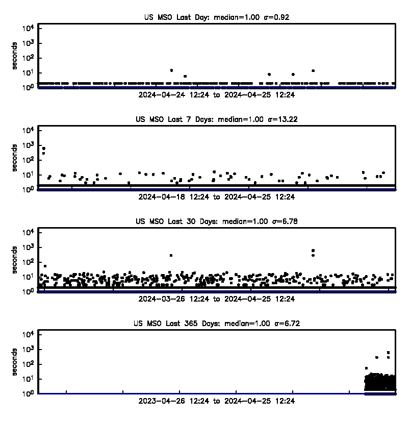
Availability
Past 30 Days

Past 365 Days

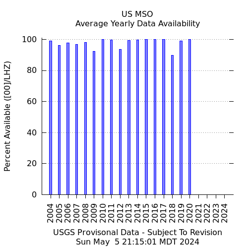
Yearly
Site Geology
Located in the pink feldspathic Booner quartzite. Part of the Missoula group that is Precambrian in age.