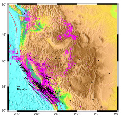
PBO is a geodetic observatory designed to study the three-dimensional strain field resulting from plate boundary deformation.

 PBO is a geodetic observatory designed to study the three-dimensional
strain field resulting from plate boundary deformation.
PBO is a geodetic observatory designed to study the three-dimensional
strain field resulting from plate boundary deformation.