

M 4.4 - 48 km N of Amberley, New Zealand
- 2017-02-20 01:16:06 (UTC)
- 42.720°S 172.718°E
- 17.8 km depth
Interactive Map Regional Information Felt Report - Tell Us! 000001Responses Contribute to citizen science. Please tell us about your experience.
- Did You Feel It?
IVmmi 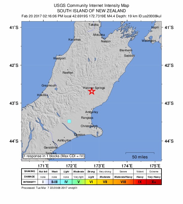
Community Internet Intensity Map Origin - Review Status
- REVIEWED
- Magnitude
- 4.4 mwr
- Depth
- 17.8 km
- Time
- 2017-02-20 01:16:06 UTC
Moment Tensor Fault Plane Solution View Nearby Seismicity - Time Range

± Three Weeks - Search Radius

250.0 km - Magnitude Range

≥ 1.0
Contributors US

USGS National Earthquake Information Center, PDE